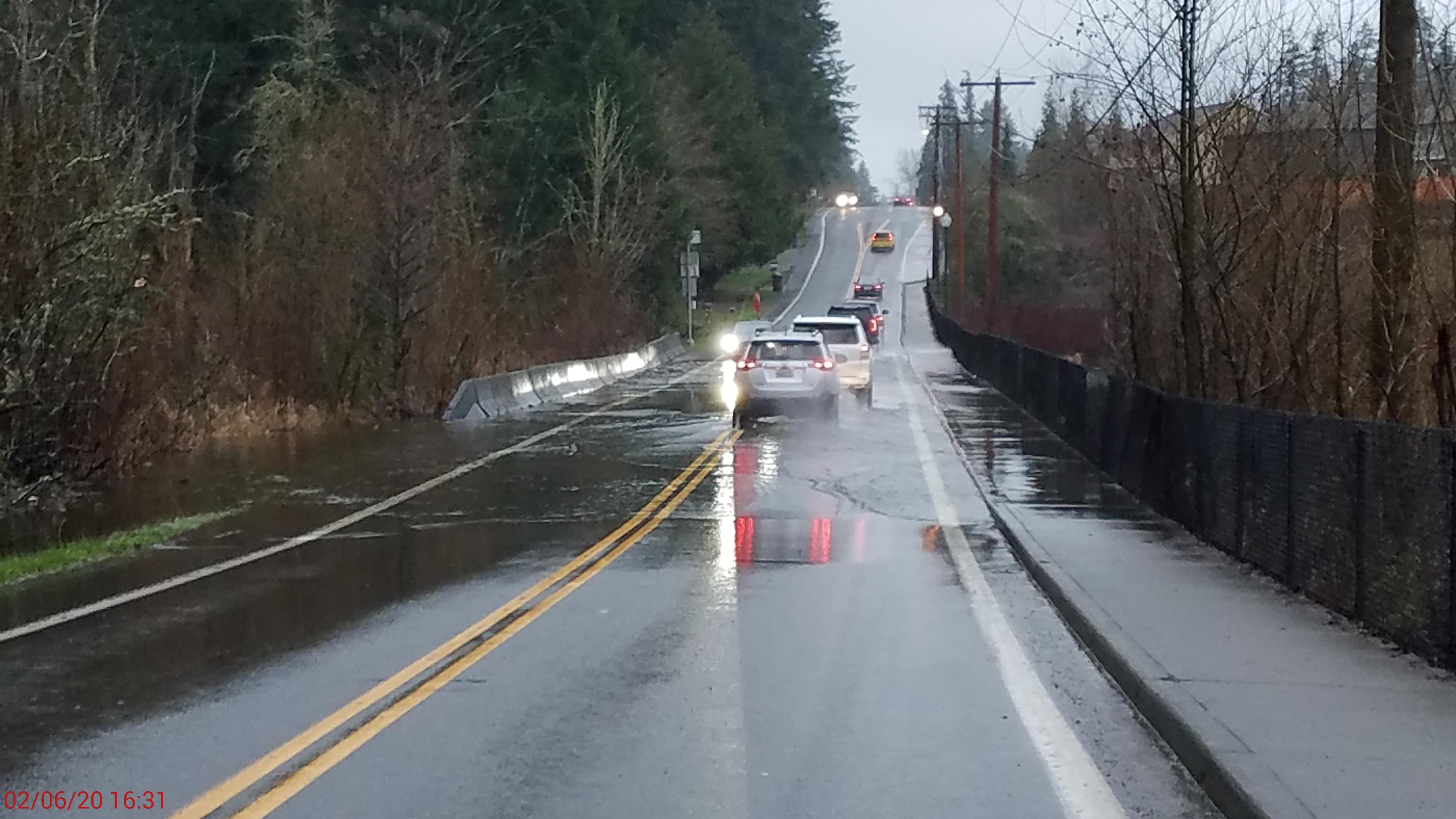
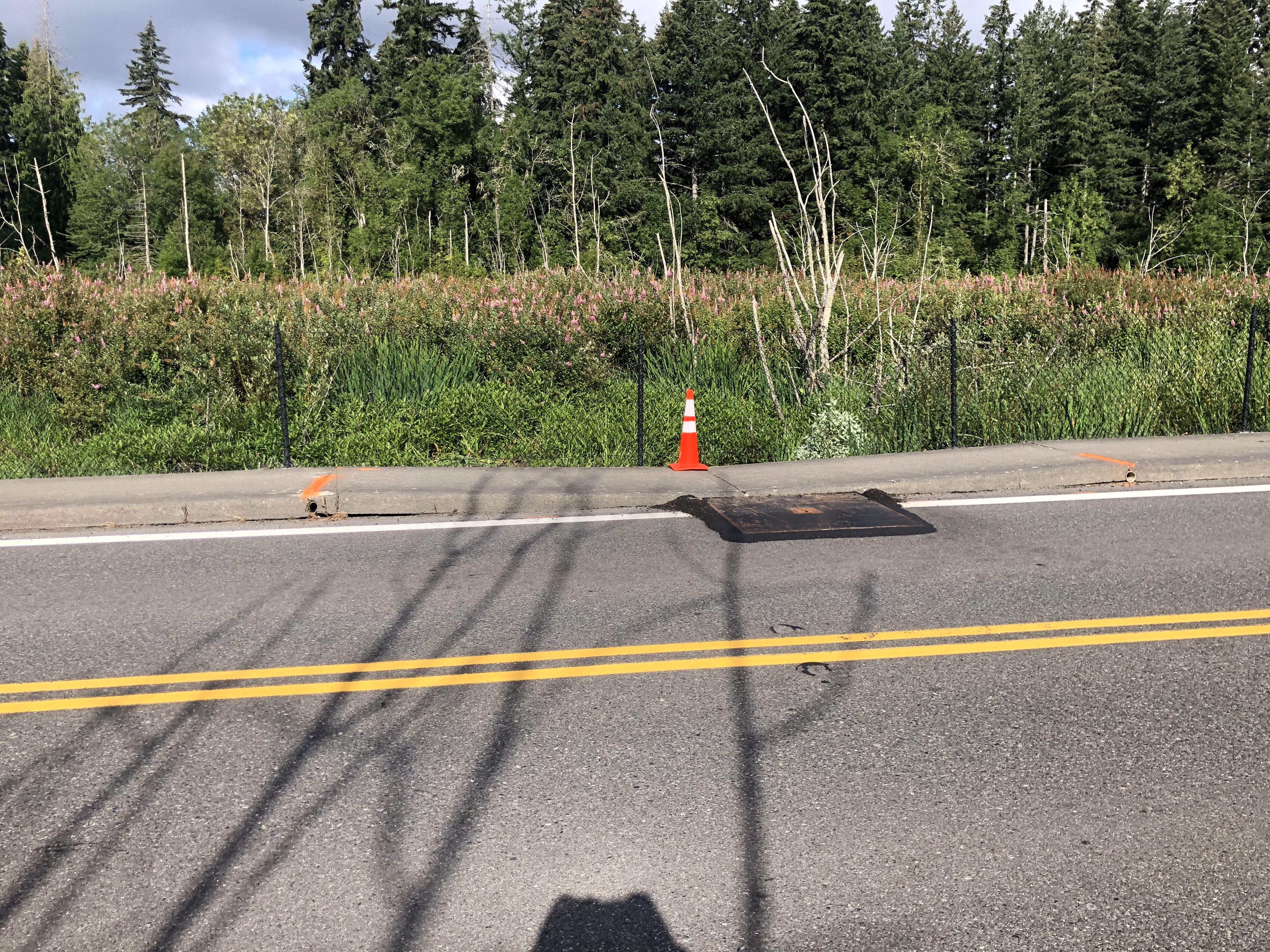
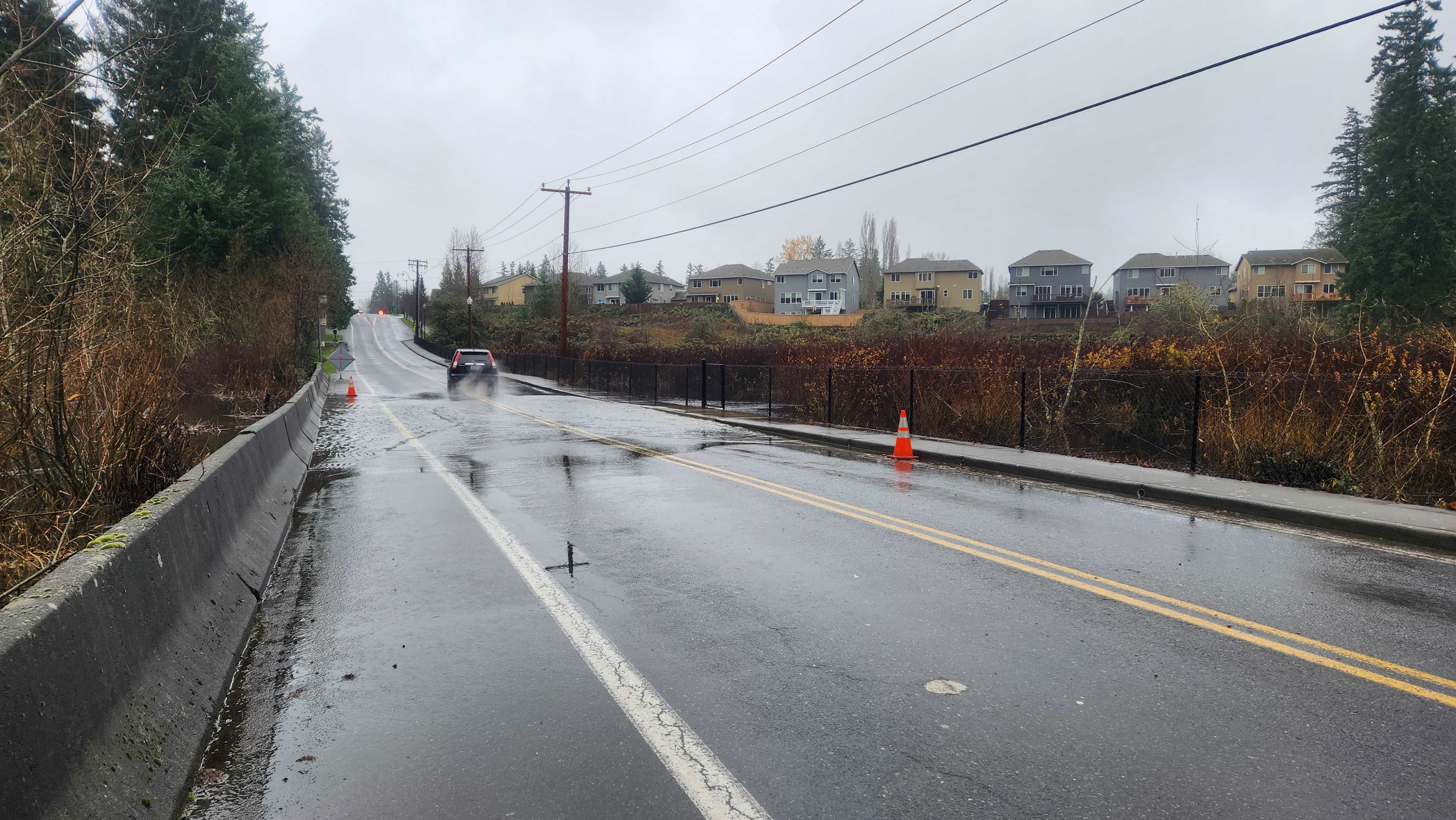
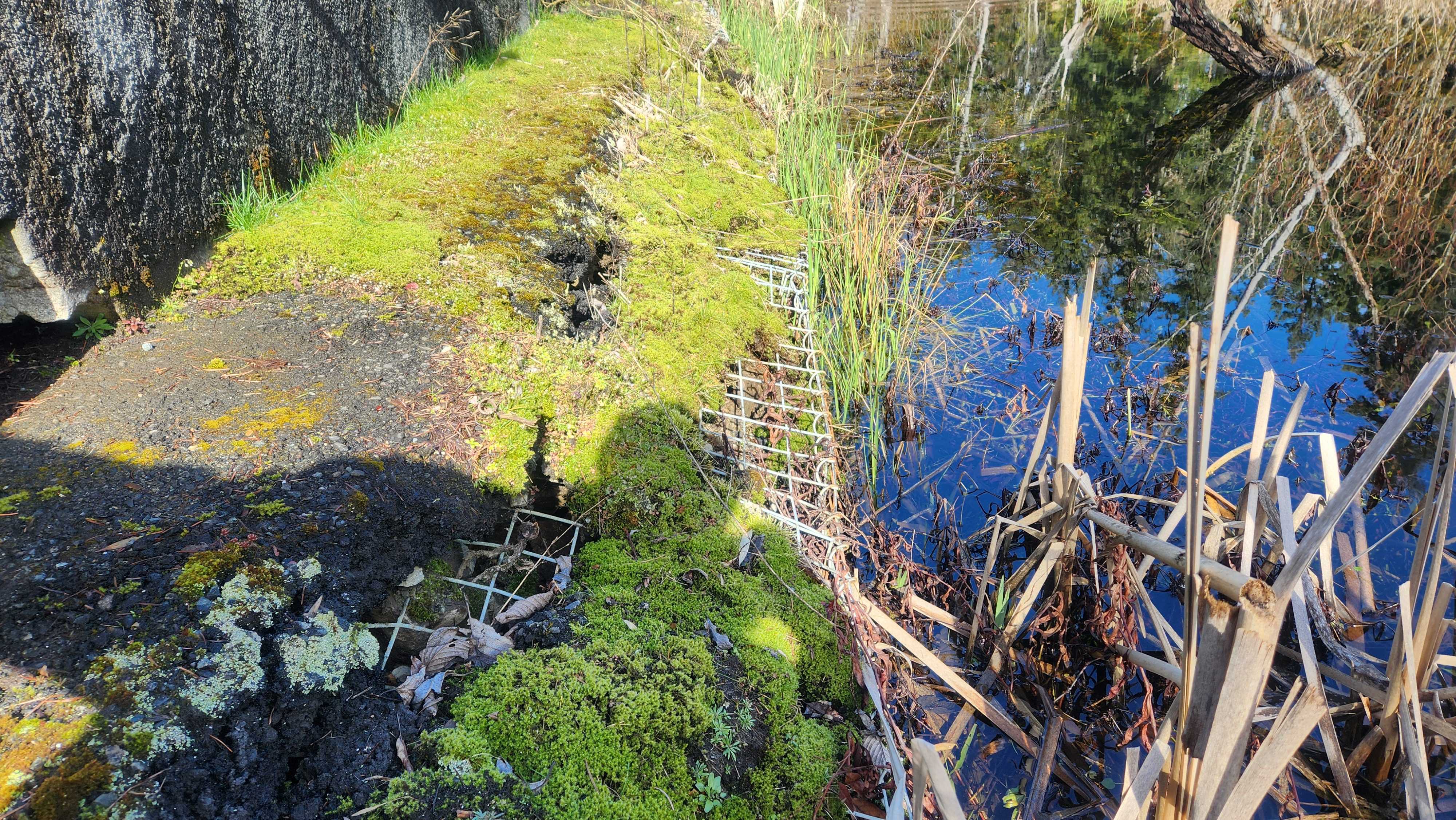
212th Ave SE at Ebright Creek
What's the latest?
2025, Quarter 4
The City is currently monitoring the settlement rate of the roadway and the adjacent sidewalk. The settlement rates will be used to evaluate the three design alternatives and to select the best option to bring through the design phase.
History and Background
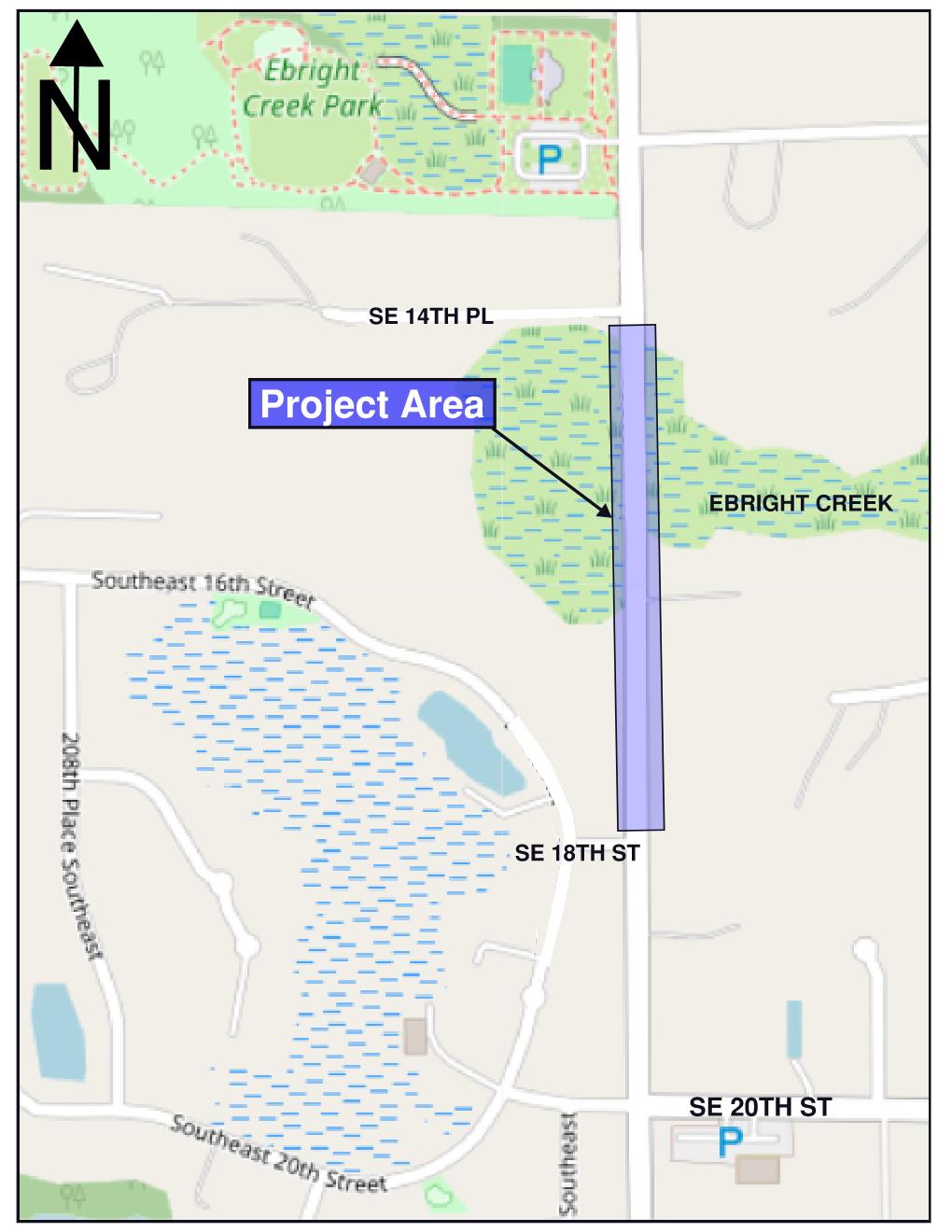
The 212th Avenue corridor (originally called Louis Thompson) was established in 1916 and constructed of gravel. At that time the Ebright Creek wetland was a cranberry marsh. Over the years the road has been updated and improved. The most recent update for this section of roadway was in 2003 when the Crossings at Pine Lake development was constructed. The improvement replaced the concrete barrier on the west side of the roadway with a sidewalk.
The roadway sits on top of multiple soil layers deposited by glaciers and stream activity. There is a significant layer of alluvium soils and peat - clay, silt, sand or gravel and organic soil formed by plant decay - which has been loosely deposited by running streams over thousands of years. These loose layers of material continue to slowly settle over time.
Environmental factors like weather, wildlife, and human modifications have an impact on rainwater flowing through the creek and wetland. These factors cause the water levels to rise during large storm events and combined with the settling soils, lead to increased amounts and frequencies of roadway flooding.
In 2021, the City applied for a FEMA BRIC grant (Building Resilient Infrastructure and Communities) to repair the roadway but design work had not yet been initiated and the project was not able to advance for final scoring.
Funding
This study is funded with local dollars programed in the Transportation Capital Improvements and Surface Water Capital Projects Funds
Additional Information
